Thursday 29 May 2014

Part 2 Edinburgh grid geometry continued

continuing with the exploration of the Edinburgh grid:

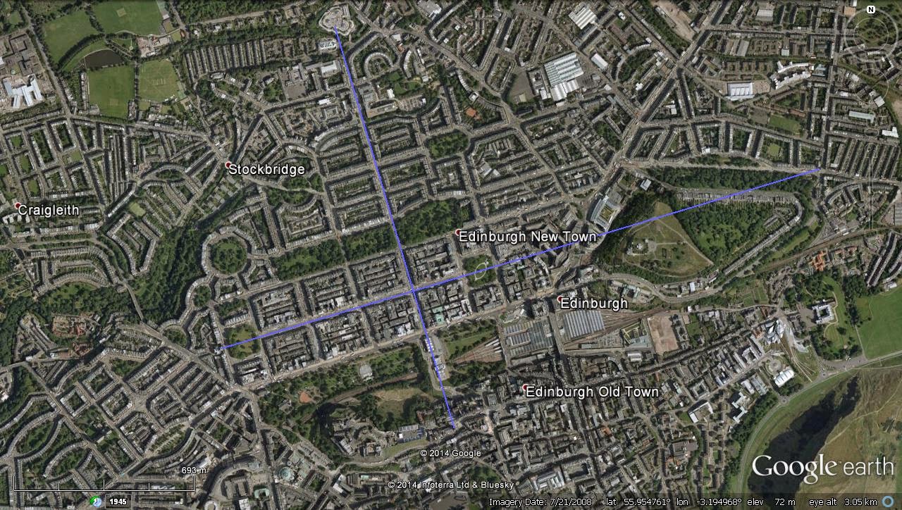
In the previous post the basic orientation of the street plan of Edinburgh New Town was shown.  My interest was drawn to this originally when it w, as noticed that the line from the pentagram maze at Old Scone was on the line that had started this research over twenty years ago, and that the Craig plan for Edinburgh appeared to be linked closely to it!  When starting from the grid plan orientation it was found that the exact(to the one-hundredth of one degree using Google Earth) bearing (plus 90degrees) from the pentagon at Old Scone passed over Calton Hill, through the Observatory there and is shown in the last image in the previous post, and again below:


Now this line has some interesting points on it, but it is some two-three hundred yards west of my original, and needs some investigation!


The astonishing thing is that this orientation runs straight to Mavisbank eart works which features so strongly in the previous investigation!  This line also includes a hill fort or whatever near Perth, unmarked on GE, and also the main road junction in the village of Scotlandwell on at the foot of Bishop Hill near the edge of Loch Leven, and also Liberton Kirk which is a good sighting point to the south of Calton Hill!


Using Calton Hill to Liberton kirk as a test of what happens more locally in GE a slight discrepancy appears:


so my guess is, its perhaps an artefact of GE, and whether its best to have the lines 'clamped to ground' or relative to ground' which are options in GE.  Relative hights may also be a factor, although Calton Hill and Liberton kirk are roughly equal in altitude, but Old Scone is lower and at a distance of some 45miles or so, the earth's curvature may start to be a factor!?  Something I have wondered about when working at large scale. Straight single lines are not an issue but geometry on the sphere angles become distorted somewhat, and my math skills don't stretch to that!

Thursday 15 May 2014

Another look at the Edinburgh grid - Part One

(After my old computer 'packed-in' and problems with Google Earth on my old laptop, I again have GE to work with!)

So, starting again from scratch I shall have another look at the Edinburgh grid introduced back in August/November 2012.

This time I started with the streets of central Edinburgh, using George Street as datum, using West Register House dome at the West end of Charlotte Square along George Street, through the statues at the junctions with Castle, Frederick and Hanover Streets and  the Melville Monument in St Andrews Square at the East end.  This also includes the recent erection of the James Clerk Maxwell statue at the east end of George Street.  (My understanding is the Clerk part relates to the Clerks of Penicuik!  More on that later when I'm more sure of the details!)

To the east of St Andrews Square the Bank of Scotland Headquarters (may be the Royal Bank, but I think that is at the top of the Mound!) dome sits on this alignment also.  Calton Hill, where the road bends on the north side, but a good enough sight-line and finishes at the spire of the church at the top of Easter Road at the London Road junction.  The same church I had on my original line which included Holyrood Palace/Abbey, Pilrig church and Pilrig House.

The orientation/azimuth from West Register House being: 73.28 degrees.


The line at ninety degrees is from the Tolbooth Church, the highest point in Edinburgh City(Arthurs Seat being outwith the city proper) down Dundas Street to Tanfield, and includes Assembly Hall(Church of Scotland), the statue atop the RSA(Royal Scottish Academy), and the line of the National Gallery, the statue at the junction of Hanover and George Streets, where lines intersect, azimuth:343.28 degrees.

Same with labels:


This third image shows the James Craig plan as is today:


I'll add an original image of the plan later!

The image below has an exact ninety degree line to the main axis, hence parallel to the other perpendicular, using Calton Hill Observatory, which needs investigation...


....later!