Mavisbank House was built by Sir John Clerk of Penicuik, whose memoirs I have finally read finding it available for download recently: Memoirs of the life of Sir John Clerk of Penicu..., and is well worth a read for those who are interested in the subject of The Treaty Of Union, 1707. Clerk was one of the Commisioners who worked on the details of the Treaty, and gives a personal account of the whole process and describes the factions and characters involved and a running commentary on the main events of the early eighteenth century, up to and beyond the '45 rebellion. I found this fascinating, but of interest also was his land dealings, he also owned Cammo estate near Cramond as well as the estates of Penicuik and Mavisbank. In this excercise both Mavisbank and Cammo are featured, and Penicuik generally.
As mentioned above the centre of the circle is the earthmound to the rear of the House and in his memoirs is a note by the editor, page 249, and additional notes, note M, p. 115, giving a quote by a Professor James: ''Behind the house rises, in green abruptness, a trenched Roman Camp, which must have been dear to the Baron's reverently antiquarian soul.''

There is also quite a bit of coverage of the work he did in enclosing and developing the estate of Penicuik which is also of interest although not of relevant for now!
I have so much to cover and am way behind in this side of the work, so on to the presentation of this system of geometry. Again some more astonishing findings, and I have to remind myself I am not making this up, but
are merely extending what I have had for years now, without the benefit of Google Earth!
So, the circle centred on Mavisbank, with radius that defined by Henry Lincoln at Rennes Le Chateau, and using Newtongrange Church as orientation, with Allermuir to the Camp Ridge as line of sight:

although neither are marked here Allermuir is indicated by the second mountain symbol, the most left of the two outside the circle to the left.
From here a 'flower of life' can be constructed by drawing in circles of the same radius round the circumference starting from Newtongrange where the circles intersect:

It is possible to draw in the hexagon using these found points, but what I want to do is extend the radial lines through these from Mavisbank:


There are two points of immediate interest.
First: The yellow radial in the first image running (NNW - SSE) can be seen to run into the centre of Edinburgh and in the second with some of the previous grid included shows a very intriguing link with Mavisbank. This line extended to the circumference of the secondary turquoise circle cuts directly through the the spire of St. Giles Cathedral and meets the circumference, which cuts through the Scott Monument in Princes Street Gardens directly opposite South St. David's Street, named after David Hume the philosopher of the Enlightenment period(18th century), called 'Le Bonne David' by Voltaire(if memory serves right). In the second image below St. Giles and the Scott Monument are marked(reminder: clik on the image for a full screen shot!). Very intriguing! And in the next post I shall show another link with this point, only just discovered.
In the image below the square found from previous post defined by Heriot's School(originally hospital founded George Heriot in the 16th century) and the 'face' in the crags near Holyrood, and Pilrig with the exact 45d diagonals included, the line from the centre of this square parallel to the sides and cutting the Heriot's/ face line at the exact mid-point extended goes exactly to the Mavisbank earthmound, as can be seen in the above image. Totally unexpected!


There are many interesting points found on the circumferences of the circles shown, but too many to investigate for now. I am still too amazed by certain of the connections found to give them all sufficient attention! This first interaction between the City grid defined by the Scone/Holyrood line and this hexgaonal system which I repeat I have known of for over 15 years is astonishing, but it gets even more so later.
The second radial extension I wish to show goes straight to Cammo House(ruin) to within a few feet actually!

Not only that but the grid line from Mavisbank intersects the right angled return from Cammo House at the corner of Starbank Park on the coast just west of Newhaven.
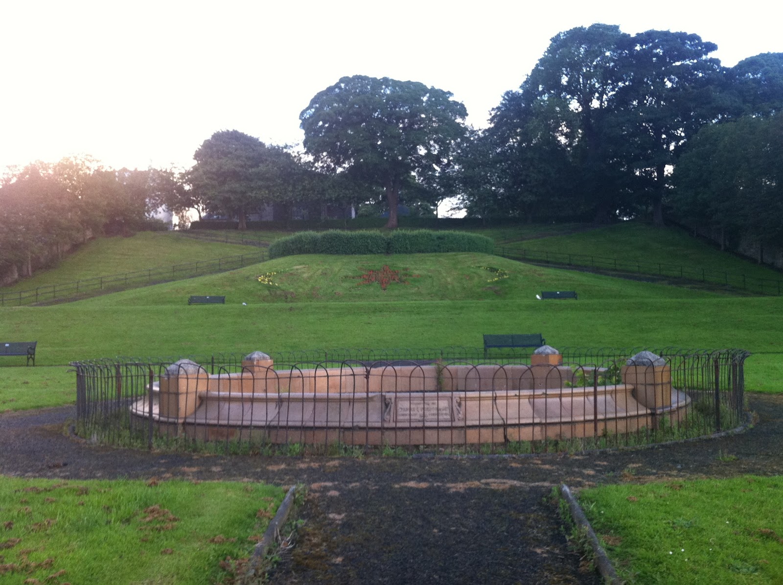
A one time nice ornamental garden, now neglected!
So, a lot to ponder and look at again, after I catch up on the other stuff I have found recently linking into all this and piling on the astonishment factor even more!